


Now Reading: Brooklyn how many street and avenues are there
-
01
Brooklyn how many street and avenues are there


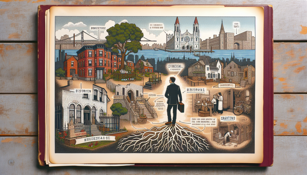
Hey everyone, welcome back to *Brooklyn Echoes*, the podcast that keeps the borough’s legends and memories alive. I’m your host, Robert Henriksen.
Brooklyn, as the most populous borough of New York City and coextensive with Kings County, boasts a sprawling and historically layered network of roadways that reflects its evolution from rural Dutch settlements and independent towns to a densely urbanized area integrated into Greater New York in 1898. Unlike Manhattan’s more uniform grid, Brooklyn’s streets and avenues are a patchwork of grids, diagonal paths from old farm roads, and irregular layouts influenced by topography, waterfronts, and 19th-century developments. Determining the exact “number” of streets and avenues is nuanced: Are we counting unique names, road segments, mileage, or specific naming conventions (e.g., those ending in “Street” vs. “Avenue”)? NYC’s streets are also dynamic, with occasional renamings, extensions, or demappings. Based on official data, historical records, and maps, here’s a comprehensive overview.
### Overall Scale of Brooklyn’s Road Network
The New York City Department of Transportation (DOT) oversees approximately 6,300 miles of streets and highways across the five boroughs. Brooklyn, covering 71 square miles of land (the largest borough by area), accounts for an estimated 1,500–1,800 miles of this total. This rough proportion is derived from Brooklyn’s share of the city’s landmass (about 23%) and its higher density of residential and commercial roads compared to more suburban boroughs like Staten Island. These miles encompass everything from narrow alleys and dead-end courts to multi-lane arteries like Flatbush Avenue or the Brooklyn-Queens Expressway (not counted as a “street” here).
In terms of unique street names, NYC’s open data portals (like the Street Name Dictionary and Centerline datasets) list thousands citywide, but no single source provides a pre-tabulated count for Brooklyn alone. Estimates from comprehensive lists, maps, and geographic databases suggest Brooklyn has around 2,500–3,500 unique names, including prefixes like “East” or “West.” This is conservative; Wikipedia’s partial catalog of Brooklyn thoroughfares includes over 1,000 major entries, but omits many minor or residential roads. Citywide, NYC has thousands of named streets out of over 32,000 total road segments (many unnamed or duplicated across boroughs).
### Distinguishing Streets and Avenues
In Brooklyn’s nomenclature (influenced by the 1811 Commissioners’ Plan but adapted locally), “streets” typically run east-west and are often numbered, while “avenues” run north-south and may be lettered or numbered. However, this isn’t strict—some avenues (like the lettered ones in south Brooklyn) run east-west, and historical renamings add confusion. For example, in 1870, many streets in Williamsburg were renumbered or renamed to reduce duplication, and in 1881, a massive renumbering affected thousands of buildings. Below, I break down by category, focusing on numbered and lettered systems, which are iconic to Brooklyn’s layout.
#### Numbered Streets (Primarily East-West)
Brooklyn features multiple overlapping numbered street systems, a legacy of its pre-consolidation towns (e.g., Bushwick, Flatbush, Gravesend). These are not continuous grids but clustered in neighborhoods:
– **Main unprefixed numbered streets** (e.g., in Park Slope, Sunset Park, Bay Ridge): From 1st Street to 101st Street, with no gaps, totaling 101.
– **East numbered streets** (primarily north-south in Flatlands, Canarsie, and East New York, functioning like avenues in some grids): East 1st Street to East 108th Street, totaling 108. This is Brooklyn’s highest numbered system.
– **West numbered streets** (north-south in Gravesend and Bensonhurst): West 1st Street to West 37th Street, totaling 37.
– **North numbered streets** (east-west in Williamsburg): North 1st Street to North 14th Street, totaling 14.
– **South numbered streets** (east-west in Williamsburg): South 1st Street to South 11th Street, totaling 11.
– **Total numbered streets**: Approximately 271, though some overlap or are interrupted by parks, highways, or waterways.
#### Numbered Avenues (Primarily North-South)
Numbered avenues are concentrated in southwest Brooklyn (e.g., Sunset Park to Bensonhurst), forming a grid with east-west streets. They start short and fragmented in the north and become more prominent southward:
– From 1st Avenue (a short segment in Sunset Park) to 28th Avenue (in Bensonhurst), totaling 28. This appears to be the highest, with no higher numbers documented in Brooklyn. Notable ones include 3rd Avenue (one of the longest, running 6+ miles through multiple neighborhoods) and 86th Street (wait, that’s a street, but avenues like 18th Avenue are commercial hubs).
#### Lettered Avenues (Primarily East-West in South Brooklyn)
In the flat southern-central areas (e.g., Midwood, Kensington, Flatbush), avenues are lettered alphabetically, crossing north-south numbered streets (like East 13th Street). This grid dates to 19th-century planning:
– Avenue A to Avenue Z, totaling 26. Not all are continuous; for example, Avenues A and B are short or renamed in parts (e.g., Avenue A became Albemarle Road), and Avenue I exists but is brief. These are substituted with names in some spots for historical reasons.
### Named Streets and Avenues
Beyond numbers and letters, Brooklyn has hundreds of descriptively named roads, often honoring people, places, or features:
– **Avenues**: Approximately 200+ major ones listed in catalogs, including iconic routes like Flatbush Avenue (a diagonal lifeline from Manhattan to Marine Park), Kings Highway (a colonial-era path), and Bedford Avenue (Brooklyn’s longest street at 10.5 miles, despite the name). Many are state-named (e.g., New York Avenue, Pennsylvania Avenue).
– **Streets**: Similarly, 200+ major entries, such as Fulton Street (a historic commercial corridor), Myrtle Avenue (running east-west through Bushwick), and state-named ones like Albany Avenue. Other suffixes include “Place” (e.g., Garfield Place, ~200 entries), “Road” (~40), “Lane” (~30), and “Court” (~150).
– Historical changes: Over 1,600 old names have been lost or altered citywide, with Brooklyn seeing major overhauls (e.g., 2nd North Street became Metropolitan Avenue). Honorary co-namings (e.g., for figures like Notorious B.I.G.) add layers without changing base names.
### Challenges and Notes
– **Duplication and Variations**: Names can repeat with prefixes (e.g., East 10th Street vs. 10th Street), but borough codes prevent confusion in addresses.
– **Not Included**: This doesn’t count private roads, pedestrian paths, or highways like the BQE. Minor alleys or drives add hundreds more.
– **Sources for Deeper Dive**: For exact counts, query NYC Open Data’s Street Name Dictionary (borough code 3 for Kings/Brooklyn) or use tools like the NYC Street Map app. Historical maps from the New York Public Library or sites like OldStreets.com reveal lost names.
Brooklyn’s roads tell stories of immigration, industry, and urban renewal—if you’re curious about a specific area (e.g., Williamsburg’s grid or Crown Heights’ upstate-named avenues), let me know for more details!
If you like this podcast, Check out our new Brooklyn Echo’s Audio podcast at The Brooklyn Hall of Fame were we have been recording episodes to stream at your favorite streaming services like Apple or Spotify.


Related Posts


Stay Informed With the Latest & Most Important News
Previous Post
Next Post
Previous Post
Next Post


Advertisement

-
 01A Journey Through the Life of Gene Tierney
 -
 02Peter Criss: The Beat Behind KISS
 -
 03A Comprehensive Look at Barry Manilow’s Brooklyn Roots
 -
 04Famous Writers from Brooklyn, New York
 -
 05A Look Back at the 1977 Brooklyn Blackout: Causes and Impacts
 -
 06A Comprehensive Look at Edie Falco’s Inspiring Journey
 -
 07A Deep Dive into Debra Messing’s Life and Career