

List of numbered Brooklyn streets 1-24
List of numbered Brooklyn streets
From Wikipedia, the free encyclopedia
This article covers the non-directionally labeled numbered east–west streets in the New York City borough of Brooklyn between and including 1st Street and 101st Street. Most are offset by about 40 degrees from true east–west, that is they run southeast–northwest, but by local convention they are called east–west.
With avenues numbered from 1 to 28, they form a street grid. While similar to Manhattan’s grid, this Brooklyn grid does not have strict rules of traffic direction based on whether a street number is odd or even. This grid starts with 1st Street in Park Slope south of Garfield Place and ends with 101st Street just north of Shore Road and the Belt Parkway in Bay Ridge.
A separate grid of “West” and “East” streets (West 1st through West 37th Streets, and East 1st through East 108th Streets) lies on both sides of Dahill Road and run approximately north–south. A third grid on Bath Beach neighborhood specifies “Bay Streets” (facing Gravesend Bay), numbered from Bay 7th to Bay 50th Streets, with the first three streets having been taken over by Dyker Beach Park, and alternating with the numbered avenues from Bensonhurst and New Utrecht.
Streets
Main grid (Carroll Gardens to Bay Ridge)
| Street | West | East | Length | # of lanes | Traffic direction | Additional notes | Image |
| 1st Street | Hoyt Street | Prospect Park West | 1 | East | Exists in two segments, cut off by the Gowanus Canal. | ||
| 2nd Street | Smith Street | Prospect Park West | 1 | West | Exists in two segments, cut off by the Gowanus Canal. | ||
| 3rd Street | Smith Street | Prospect Park West | 1-2 | Varies | Runs two-way from Smith Street to 4th Avenue and one-way eastbound to end. | ||
| 4th Street | Smith Street | Prospect Park West | 1 | West | Exists in two segments, cut off by the Gowanus Canal. | ||
| 5th Street | Smith Street | Prospect Park West | 1 | East | Exists in two segments, cut off by the Gowanus Canal. | ||
| 6th Street | 2nd Avenue | Prospect Park West | 1 | West | |||
| 7th Street | 2nd Avenue | Prospect Park West | 1 | East | |||
| 8th Street | 2nd Avenue | Prospect Park West | 1 | West | |||
| 9th Street | Smith Street | Prospect Park West | 2 | Bidirectional | 4th Avenue/9th Street and other IND Culver Line stations in Park Slope. | ||
| 10th Street | Dead-end at 2nd Avenue | Prospect Park West | 1 | East | |||
| 11th Street | 2nd Avenue | Prospect Park West | 1 | West | |||
| 12th Street | Dead-end at Hamilton Place | Prospect Park West | 1 | East | |||
| 13th Street | Hamilton Place | Prospect Park West | 1 | West | |||
| 14th Street | Hamilton Place | Prospect Park West | 1 | East | |||
| 15th Street | Hamilton Avenue | Bartel Pritchard Square at Prospect Park West | 1 | West | |||
| 16th Street | Hamilton Avenue | Prospect Park Southwest | 1 | Varies | West of 4th Avenue, traffic flows west; east of 4th Avenue, traffic flows east. | ||
| 17th Street | Sunset Industrial Park | Terrace Place | 1 | East | Cut-off, half a block northwest of 6th Avenue, by the Prospect Expressway. | ||
| 18th Street | Sunset Industrial Park | Vanderbilt Street | 1 | West | Interrupted by the Prospect Expressway between 6th and 7th Avenues. | ||
| 19th Street | Sunset Industrial Park | Vanderbilt Street | 1 | East | |||
| 20th Street | Sunset Industrial Park | Vanderbilt Street | 1 | West | Protected bike lane between 4th and 10th Avenues | ||
| 21st Street | Dead-end at 3rd Avenue | 7th Avenue | 1 | East | |||
| 22nd Street | Dead-end at 3rd Avenue | 7th Avenue | 1 | West | |||
| 23rd Street | Dead-end at 3rd Avenue | 7th Avenue | 1 | East | |||
| 24th Street | 3rd Avenue | 6th Avenue | 1 | West |

-
 01Famous Writers from Brooklyn, New York
 -
 02A Comprehensive Look at Famous Novelists from Brooklyn, New York
 -
 03The Impactful Journey of Donald Joel Aronow: A Boat Design Pioneer
 -
 04A Scenic Journey: The Staten Island Ferry from Brooklyn to Manhattan
 -
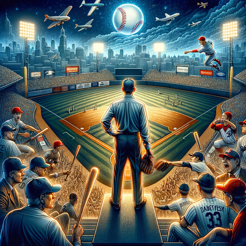
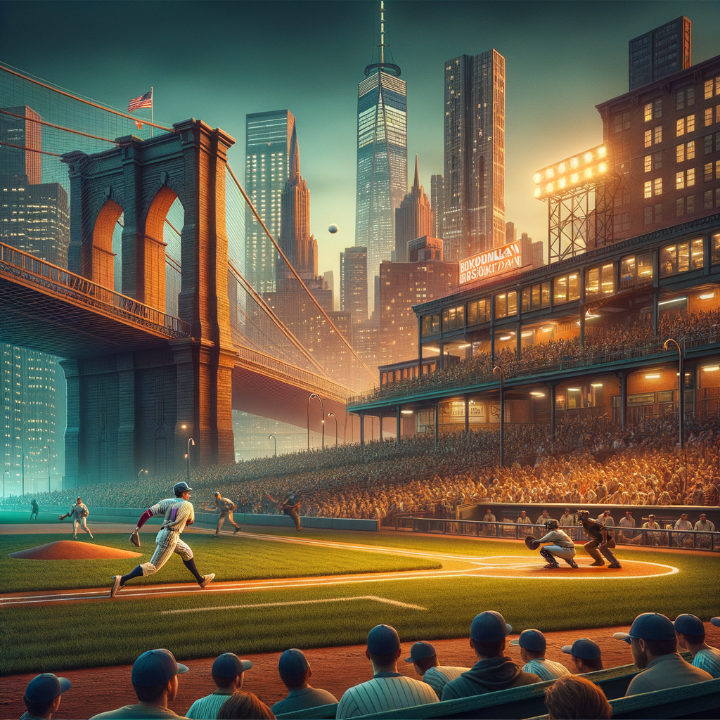
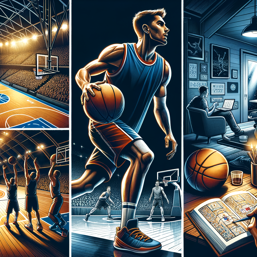
 05Famous Sports Stars from Brooklyn, New York
 -
 06A Look Back at the 1977 Brooklyn Blackout: Causes and Impacts
 -
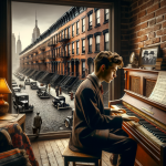 07A Comprehensive Look at Barry Manilow’s Brooklyn Roots