

Now Reading: Brooklyn Streets That are no longer or Renamed
-
01
Brooklyn Streets That are no longer or Renamed


Hey everyone, welcome back to *Brooklyn Echoes*, the podcast that keeps the borough’s legends and memories alive. I’m your host, Robert Henriksen.
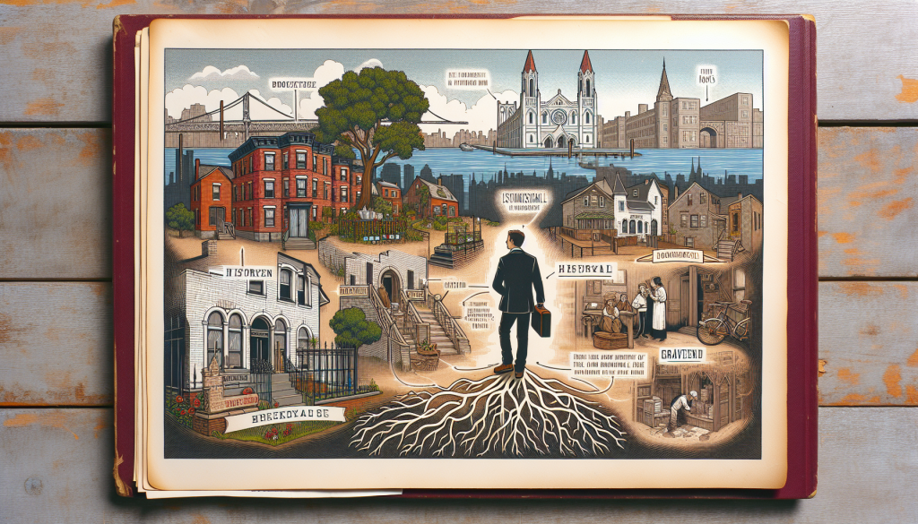
Brooklyn, New York, has undergone significant urban transformations over the centuries, leading to the disappearance or renaming of numerous streets. These “lost” streets often fell victim to urban renewal projects, highway construction, industrial expansion, or the imposition of a modern grid system. Below, I’ll outline some notable examples based on historical records, divided into fully demapped (removed from maps) streets and those that were renamed but whose original identities are largely forgotten. This isn’t an exhaustive list, as NYC has hundreds of demapped streets citywide, but these are prominent ones in Brooklyn.
### Demapped or Disappeared Streets
These streets no longer exist in their original form, often erased for development.
– **Talman Street**: This short street ran between Jay and Bridge Streets near the border of Downtown Brooklyn and DUMBO, following an old cow path. It was a 19th-century slum lined with rickety wood-framed houses lacking basic amenities like running water and heat, initially home to poor Irish immigrants and later African American residents. De-mapped in the post-World War II urban renewal era as part of a “scorched-earth” policy to clear slums. Replaced by the Brooklyn-Queens Expressway (BQE) ramps and the Farragut Houses public housing complex, completed in 1952.
– **Flint Street** (originally Stewarts Alley): A one-and-a-half-block alley in an industrial area under the Manhattan Bridge approach, running from Prospect Street east of Main Street north to Front Street, near DUMBO and Vinegar Hill. First referenced in 1869, it was a minor thoroughfare in Brooklyn’s industrial zone. Demapped by the mid-20th century, likely due to changes in the Brooklyn Bridge approach or absorption by surrounding warehouses and parking lots; it survived the BQE construction but was ultimately replaced.
– **Red Hook Lane**: A colonial-era path originating as a Canarsie Indian trail, later used as a route from Brooklyn Heights through Dutch farmland to the Red Hook waterfront. It played a role in the Revolutionary War, where George Washington observed the Battle of Brooklyn in 1776. Originally 25 feet wide, it ran diagonally from Boerum Place across Atlantic Avenue, cutting through areas near Pacific Street and Court Street. Incompatible with the modern street grid, it was gradually swallowed by urbanization and development, leaving only a short remnant off Fulton Street in Downtown Brooklyn.
– **Forest Place**: An old farm road in Bay Ridge, originally a crooked rural path about 1,000 feet long from near 91st Street west of Fourth Avenue to 88th Street and Fifth Avenue. Mentioned as early as 1859, it was boggy and rural, associated with residents like blacksmith Joseph Statler. Parts were closed in 1902 (between 88th Street and Fourth Avenue) and 1907 (between 90th and 91st Streets) due to lack of use and building encroachments. Now reduced to a 275-foot unpaved alley used as a car shortcut, surrounded by dealerships and parking lots.
### Renamed Streets
These streets still exist but under new names, often changed to avoid confusion with duplicates elsewhere in Brooklyn.
| Original Name | Current Name | Neighborhood | Reason for Rename | Historical Context |
|—————|————–|————–|——————-|——————–|
| Macomb Street | Garfield Place | Park Slope | Renamed in 1881 after President Garfield’s assassination; residents petitioned to avoid confusion with Macon Street in Bed-Stuy. | A common 19th-century street name that became obsolete post-rename. |
| Third Street | Berry Street | Williamsburg | Changed as Williamsburg grew to prevent intersection confusion (e.g., with North Sixth Street). | Named after Williamsburg’s first mayor; part of the area’s expansion as a separate city before consolidation. |
| Madison Street | Oak Street | Greenpoint | Likely renamed to avoid duplication with Madison Street in Bed-Stuy. | A straightforward rename in a developing neighborhood. |
| Powers Street | Third Avenue | Boerum Hill | Renamed to distinguish from Powers Street in Williamsburg. | Reflected the push for clearer naming in growing Brooklyn. |
For more on Brooklyn’s historical geography, resources like old maps from the New York Public Library or sites such as Ephemeral New York offer deeper dives into these changes. If you’re interested in a specific neighborhood or era, I can look into more details.
| Original Name | Current Name | Neighborhood | Reason for Rename | Historical Context |
| Macomb Street | Garfield Place | Park Slope | Renamed in 1881 after President Garfield’s assassination; residents petitioned to avoid confusion with Macon Street in Bed-Stuy. | A common 19th-century street name that became obsolete post-rename. |
| Third Street | Berry Street | Williamsburg | Changed as Williamsburg grew to prevent intersection confusion (e.g., with North Sixth Street). | Named after Williamsburg’s first mayor; part of the area’s expansion as a separate city before consolidation. |
| Madison Street | Oak Street | Greenpoint | Likely renamed to avoid duplication with Madison Street in Bed-Stuy. | A straightforward rename in a developing neighborhood. |
| Powers Street | Third Avenue | Boerum Hill | Renamed to distinguish from Powers Street in Williamsburg. | Reflected the push for clearer naming in growing Brooklyn. |
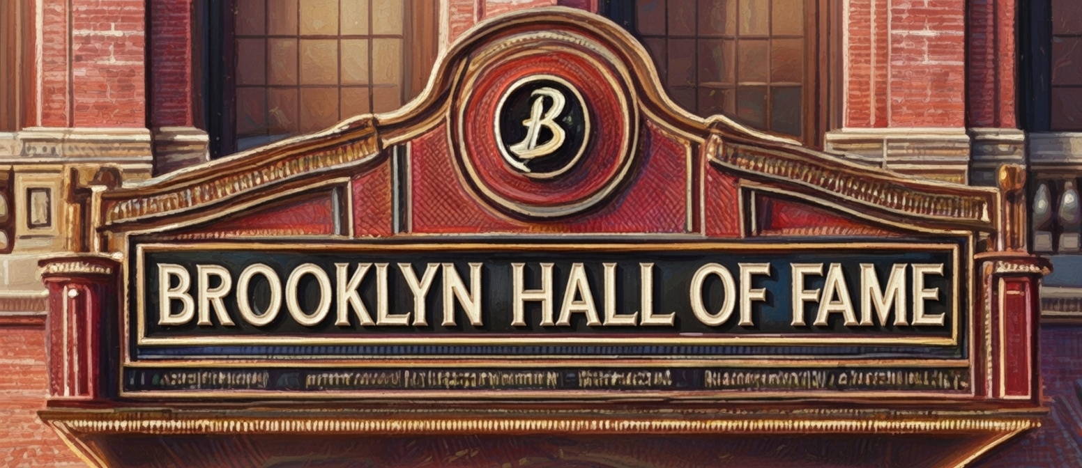
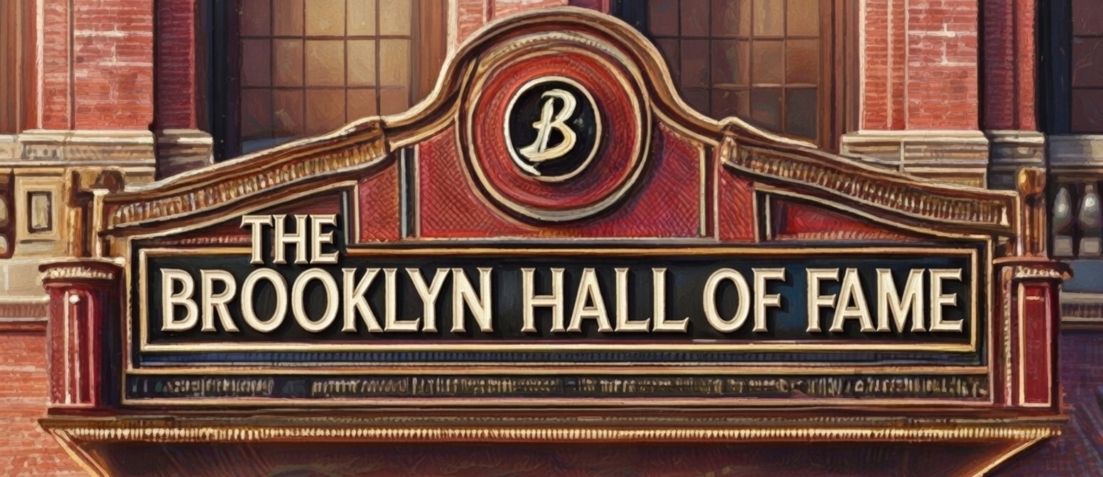
If you like this podcast, Check out our new Brooklyn Echo’s Audio podcast at The Brooklyn Hall of Fame were we have been recording episodes to stream at your favorite streaming services like Apple or Spotify.

Related Posts

Stay Informed With the Latest & Most Important News
Previous Post
Next Post


Advertisement


-
 01A Deep Dive into Debra Messing’s Life and Career
 -
02A History of Lee Louis Mazzilli: From Player to Manager
-
03The Remarkable Journey of Connie Stevens
-
04The multifaceted career of Danny Winchell in the entertainment industry
-
05A Journey Through the Life of Ramblin’ Jack Elliott
-
06A Deep Dive into the Life and Legacy of Stuart L. Sternberg
-
07Check out our Youtube Brooklyn Trivia Page